
CINCINNATI — We’re less than a week out from Cincinnati’s favorite holiday — Reds Opening Day.
The Cincinnati Reds will take on the Boston Red Sox at Great American Ball Park. But action starts far before the game itself.
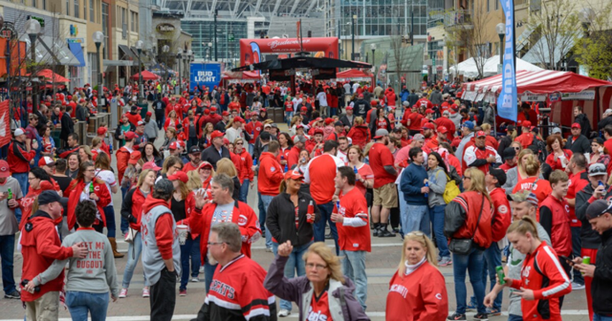
The annual Findlay Market Opening Day Parade kicks off Thursday at noon.
The City of Cincinnati has released which roads will be closed on Thursday. Before you make your parade plans, be sure to check out the changes in traffic.
The following streets will close at 8 a.m. Thursday
Race Street – closed between Liberty Street and McMicken StreetElm Street – closed between Liberty Street and McMicken StreetFindlay Street – closed between Central Parkway and Vine StreetElder Street – closed between Central Parkway and Vine StreetGreen Street – closed between Vine Street and Logan StreetHenry Street – closed between Race Street and Dunlap StreetDunlap Street – closed between Findlay Street and McMicken StreetLogan Street – closed between Liberty Street and Findlay Street
The parade begins at the intersection of Race Street and Liberty Street. It will travel south on Race Street to Fifth Street, then travel east on Fifth Street to the demarcation area at Sentinel Street.
The following parade route streets and cross streets will be closed beginning at 11:15 a.m.:
Liberty Street- closed between Vine Street and Central ParkwayCentral Parkway- closed between Vine Street and Elm StreetRace Street – closed between Liberty Street and Fourth StreetFifth Street – closed between Central Avenue and Sentinel StreetFifteenth Street – closed between Republic Street and Elm StreetFourteenth Street – closed between Elm Street and Republic StreetThirteenth Street- closed between Race Street and Vine StreetTwelfth Street – closed between Elm Street and Vine StreetCourt Street – closed between Elm Street and Vine StreetNinth Street – closed between Elm Street and Vine StreetEighth Street – closed between Elm Street and Vine StreetSeventh Street – closed between Elm Street and Vine StreetSixth Street – closed between Elm Street and Vine StreetVine Street – closed between Fourth Street and Sixth StreetWalnut Street – closed between Fourth Street and Sixth StreetMain Street – closed between Fourth Street and Sixth StreetSycamore Street – closed between Fourth Street and Sixth StreetBroadway Street – closed between Fourth Street and Sixth Street
People will still be able to access downtown hotels within the parade route. All parking within the closed areas will be restricted.
The city reminds drivers to pay attention to special parking restrictions and remove vehicles to avoid being towed.
Streets will reopen once it is determined safe to do so after the parade has passed.
Metro will be in service, but downtown stops may be altered because of the parade. Streetcar service will not start until the parade is finished. You can find more parade information here.
The Reds Community Fund Block Party will also take place during Opening Day.
The following streets will close starting at 6 p.m. March 25 and reopen following the game.
Freedom Way- closed between Rosa Parks Street and Joe Nuxhall WayMarian Spencer Way- closed between Second Street and Ted Berry Way (local garage access maintained)Joe Nuxhall Way- closed south of Second Street (hotel and handicap drop off maintained from Mehring)
The city has outlined recommended traffic and parking tips for those planning to drive to the parade. You’re encouraged to use the following routes to reach the downtown Cincinnati Riverfront:
From I-75 southbound – use the Freeman Avenue exit to Mehring Way to the RiverfrontFrom I-75 northbound – use the Fifth Street exit in Cincinnati, then right onto Central Avenue to the RiverfrontFrom I-71 southbound – use the Reading Road exit to Eggleston Avenue to the RiverfrontFrom I-471/ Columbia Parkway – use the Third Street exit to the Riverfront
Scripps News On The Scene