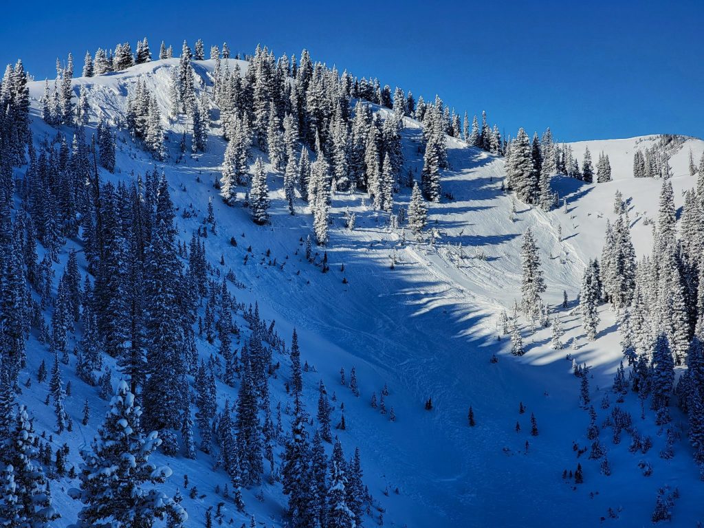
An incoming snowstorm is expected to cause dangerous avalanche conditions throughout Colorado’s Park, Gore and Front Range mountains this weekend, state officials said.
The Colorado Avalanche Information Center issued avalanche watches for the three ranges, with high avalanche danger expected above or near tree line on Saturday.
“New snow and strong winds will create very dangerous avalanche conditions starting Friday night and lasting through Sunday,” state officials said in the alerts. “Travel in avalanche terrain is not recommended during this time.”
A weak layer of early snow under the newest snowfall is also creating dangerous conditions, avalanche center staff said. Avalanches are growing in size and will be large enough to bury people.
For the Park Range, the watch area includes Walton Peak to the south and the mountains east of Steamboat Springs to the Wyoming state line.
For the Front Range, the watch area includes Downieville to the south and the mountains west of Fort Collins to the Wyoming state line. For the Gore Range, the watch area includes Copper Mountain to the south and Heeney to the north.
Most avalanches occur during or just after snowstorms, and waiting 36 hours after a big snowstorm may allow the snow to stabilize, according to the National Weather Service. Backcountry users can also reduce avalanche risk by checking the forecast, never traveling alone, crossing slopes one person at a time and always traveling with avalanche rescue equipment, including a beacon, shovel and probe pole.
Updated avalanche conditions and forecasts are available from the Colorado Avalanche Information Center at avalanche.state.co.us or 303-499-9650.

