
Updated at 2:15 p.m Monday, Feb. 16, 2026.
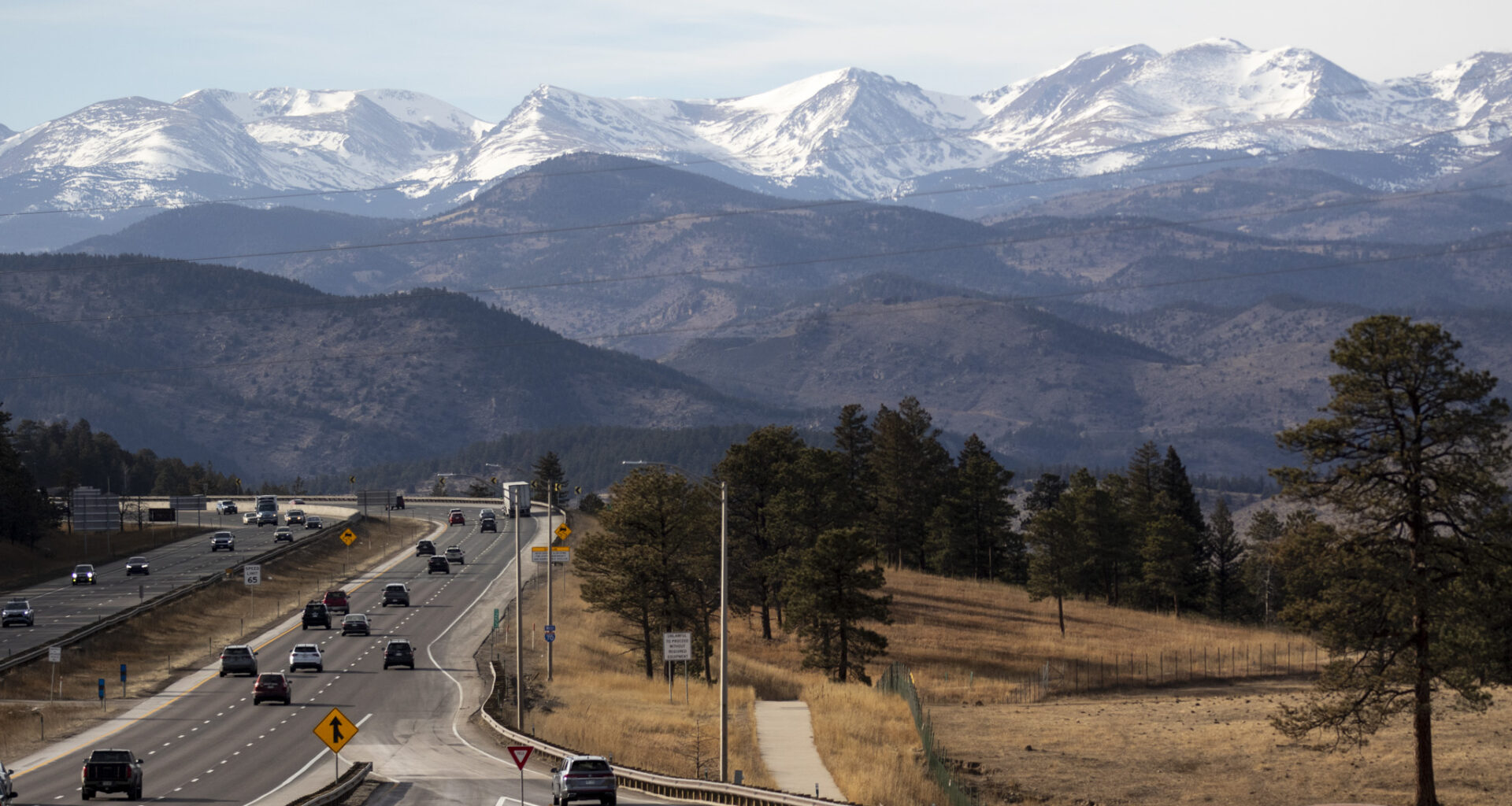
Another round of fire danger warnings will sweep the Eastern Plains Tuesday, as high winds and ultra-dry conditions contribute to high wildfire risk. Meantime, winter weather advisories are in effect across the Western Slope and Continental Divide as snow storms sweep through the mountains this week.
According to the National Weather Service (NWS,) wind gusts could reach up to 65 miles per hour on the plains. A red flag warning is in effect for the foothills and Eastern Plains all day Monday. A fire weather watch is in effect Tuesday morning through evening.
NWS meteorologist in Boulder, Paul Schlatter, said, “Any type of fire that starts is going to rapidly spread out of control.” He added, “We’re pleading for everyone to use caution if they’re doing any activities that might cause sparks tomorrow.”
It’s been one of the warmest winters on record in Colorado, with much of the state in a deep snow drought, impacting winter recreation and contributing to increased fire risk.
“This time of year high winds are pretty normal. But then coupled with how dry it’s been, it’s a recipe for really bad fire weather conditions,” said Schlatter.
Schlatter explained that the wind is part of a bigger system moving across the state that is expected to bring up to a foot or more of snow to much of the mountains. High winds, sub-zero temperatures and blowing snow will make driving conditions dangerous on mountain passes.
Another band of heavy snow is expected to move through the mountains on Wednesday. Winter weather advisories and warnings are in effect though Wednesday.
Avalanche watches are in effect for some mountain ranges and backcountry. The Colorado Avalanche Information Center warns that “very dangerous avalanche conditions” will be present
Wednesday and last through Friday. It warns that large avalanches will be easy to trigger, especially near Gunnison, Telluride and around the San Juan National Forest.
Xcel Energy issued a statement Monday morning that said the company was preparing for the increased fire risk across the plains. It plans to initiate Enhanced Powerline Safety Settings across eastern Colorado over the next two days, which allows Xcel to shut off power quickly if power lines are damaged.
The company’s statement said they are unlikely to institute the more widespread Public Safety Power Shutoffs (PSPS,) which are used during conditions of extremely high fire risk. In December, Xcel shut off power for about 115,000 households, which resulted in a backlash from residents and businesses who were without power for several days.
Although Xcel doesn’t expect nearly as many customers to lose power because of this week’s storm, the company said some outages are likely to be caused by wind damage, and they urge customers to have emergency supplies ready.
Black Hills Energy, which serves southern Colorado, has declared an PSPS watch for portions of Crowley, Fremont, Otero and Pueblo counties. That means the company may need to temporarily shut off power to approximately 5,400 customers on Tuesday from 11 a.m. to 4 p.m. due to the high winds and risk of wildfires.
In a notification, Campbell Hawkins, vice president of Colorado Utilities, said “If conditions suddenly become hazardous, power may need to be shut off with little or no notice.” The company said it will notify impacted customers by text message, email and phone calls. Updates are also being posted to their website.
Editor’s note: CPR’s Tony Gorman contributed reporting.